Welcome SKY POWERLINES inspection
We provide detailed inspection services and 3D mapping of transmission and distribution lines with innovative technology
We provide detailed inspection services and 3D mapping of transmission and distribution lines with innovative technology
Many utility companies have tried to adopt drones, but have fallen into two traps:
manual flight (which requires expensive outsourced pilots and covers only 6 to 10 towers per day) and
blind reliance on Artificial Intelligence (which fails to detect the more than 200 defects cataloged in high-voltage engineering, requiring time-consuming human reviews in the office).

We don't replace your expert's eye; we give them superpowers. The SPL Suite automates 100% of the flight of common commercial drones and delivers organized data instantly in the field.
Your own electrician analyzes the images with surgical optical zoom and generates reports on the same day.
Real efficiency of 15 to 20 complete towers per day/drone.


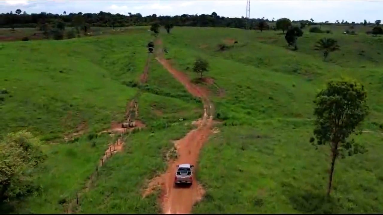
To support safe drone flights while simultaneously offering efficiency and effectiveness in providing services to clients at lower costs, we have developed a new customized aerial inspection solution that automates flight inspection of complex structures such as transmission towers using the DJI Matrice 4 or Mavic 3 . New aerial-inspection solution:
This short video presents the steps:
1) Receiving the coordinates of the power grid towers
2) Generating the flight plan via SPL Flight software
3) Executing the flight plan
4) Processing e delivering the report via SPL Report software just after the flight (off line application)
At Engie do Brasil, we inspected 170 km of network and our service was considered the best innovation project in Engie Brasil's INOVE 2023 program. Recently approved new Engie innovation project for 2024.
To ensure safe drone (class 2) flights while simultaneously offering efficiency and effectiveness in providing services to clients at lower costs, we developed inovative customized aerial photogrammetry solution capable of generating point clouds of power lines using the DJI Matrice 4 or Mavic 3 RTK and AI server solution (SPL Vegetation software).
New aerial-photogrammetry solution (replaces LiDAR):
This short video presents the steps:
1) Receiving the coordinates of the power grid towers
2) Generating the flight plan via SPL Flight software
3) Executing the flight plan
4) Processing the data using AI
5) Delivering the reports via SPL Vegetation software
At client HRZ Transmissoras (ACTIS Group), comparing inspection by patrolling, our service reduced the cost by around EUR 360K with vegetation cutting and detection of critical situation for fire/shutdown in more than 350 network spans in 410 km previously unidentified. With a team we did the work in 3 months. Cost 80% lower than the quote for the service via helicopter with LiDAR.


